Siem Reap District (Siem Reap)
Siem Reap municipality (ស្រុកសៀមរាប) is an municipality (krong) in Siem Reap province, in north-west Cambodia. According to the 2008 census of Cambodia, it had a population of 230,714. It surrounds the provincial city of Siem Reap.
Map - Siem Reap District (Siem Reap)
Map


Country - Khmer_Republic
 |
 |
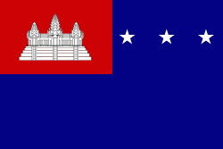
| Flag of Cambodia | |
The main cause of the coup was Norodom Sihanouk's tolerance of North Vietnamese military activity within Cambodia's borders; Vietnamese communist forces had gained de facto control over vast areas of eastern Cambodia as a result. Another important factor was the dire state of the Cambodian economy, an indirect result of Sihanouk's policies of pursuing neutrality.
Currency / Language
| ISO | Currency | Symbol | Significant figures |
|---|---|---|---|
| KHR | Cambodian riel | ៛ | 2 |
| ISO | Language |
|---|---|
| KM | Central Khmer language |
| EN | English language |
| FR | French language |